In the past months our team has carried out a large number of monitoring activities. In August and December a group of experts has carried out a field visit to examine the development of the dunes. Our ecologists monitored the development of vegetation in permanent quadrants (PQ’s) and made lists of species. Furthermore, a number of soil samples were examined.
Our monitoring programme includes LiDAR topography measurements and aerial photographs of the zone above the waterline four times per year. These measurements show the alongshore variation of the morphological changes 3,5 metres above sea level, as well as local effects and dynamics of design features.
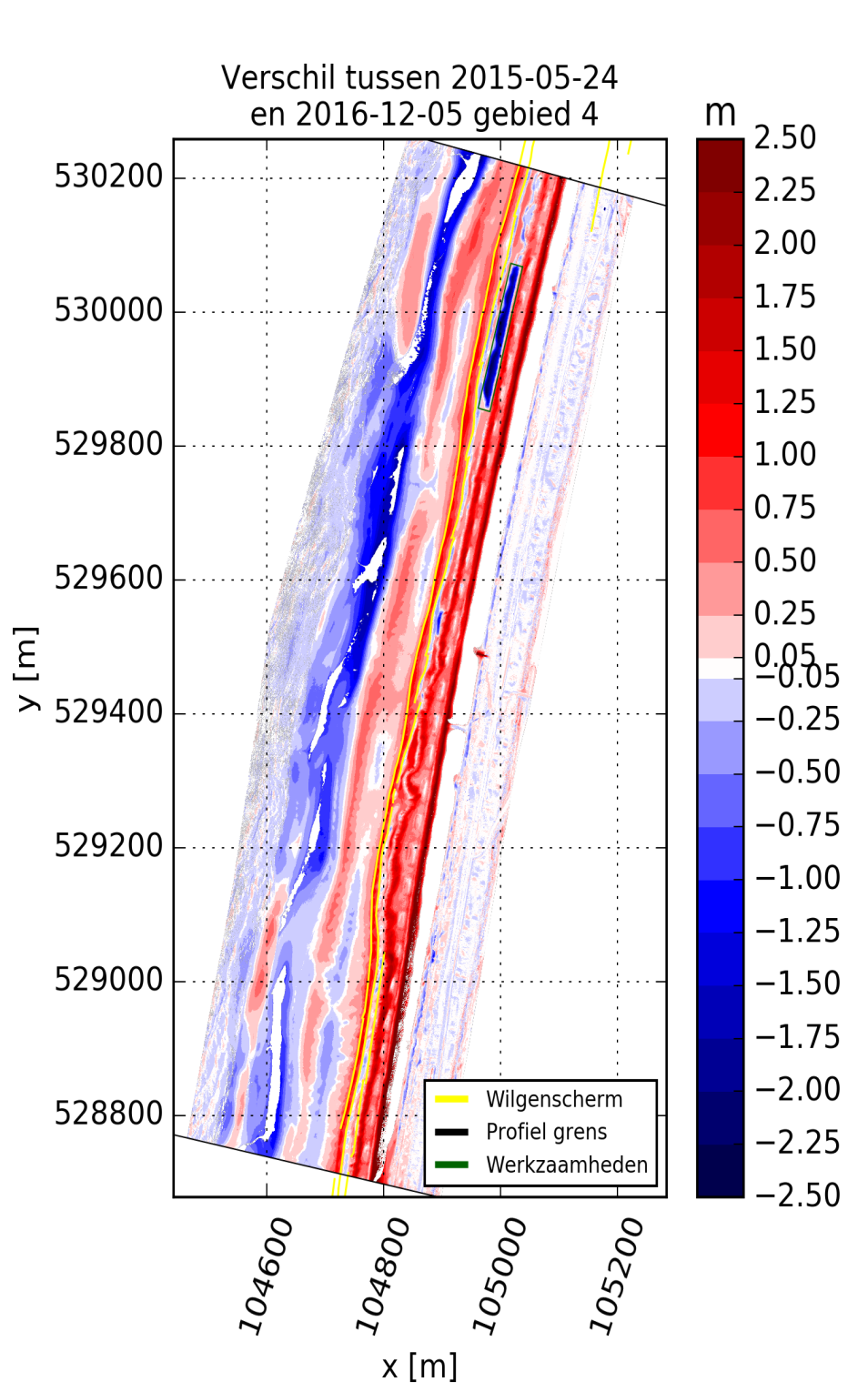
Analysis of the first results shows us that in the southern and middle part of the Hondsbossche and Pettemer dunes, higher sand accumulation rates were observed. It remains to be seen if this accumulation continues in the same way.
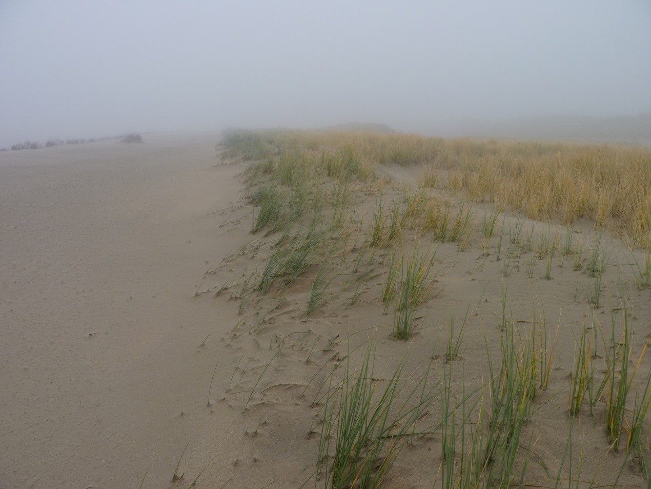
At the Northern and Southern end of the dunes the upper part of the beach eroded more. Due to these losses in beach width, less sediment may be available for aeolian transport. The morphological differences as observed in the artificial blowouts closer to sea may originate from higher turbulence at the seafront dune rim. The manually planted Marram grass is starting to develop into more natural vegetation, influencing geomorphology.