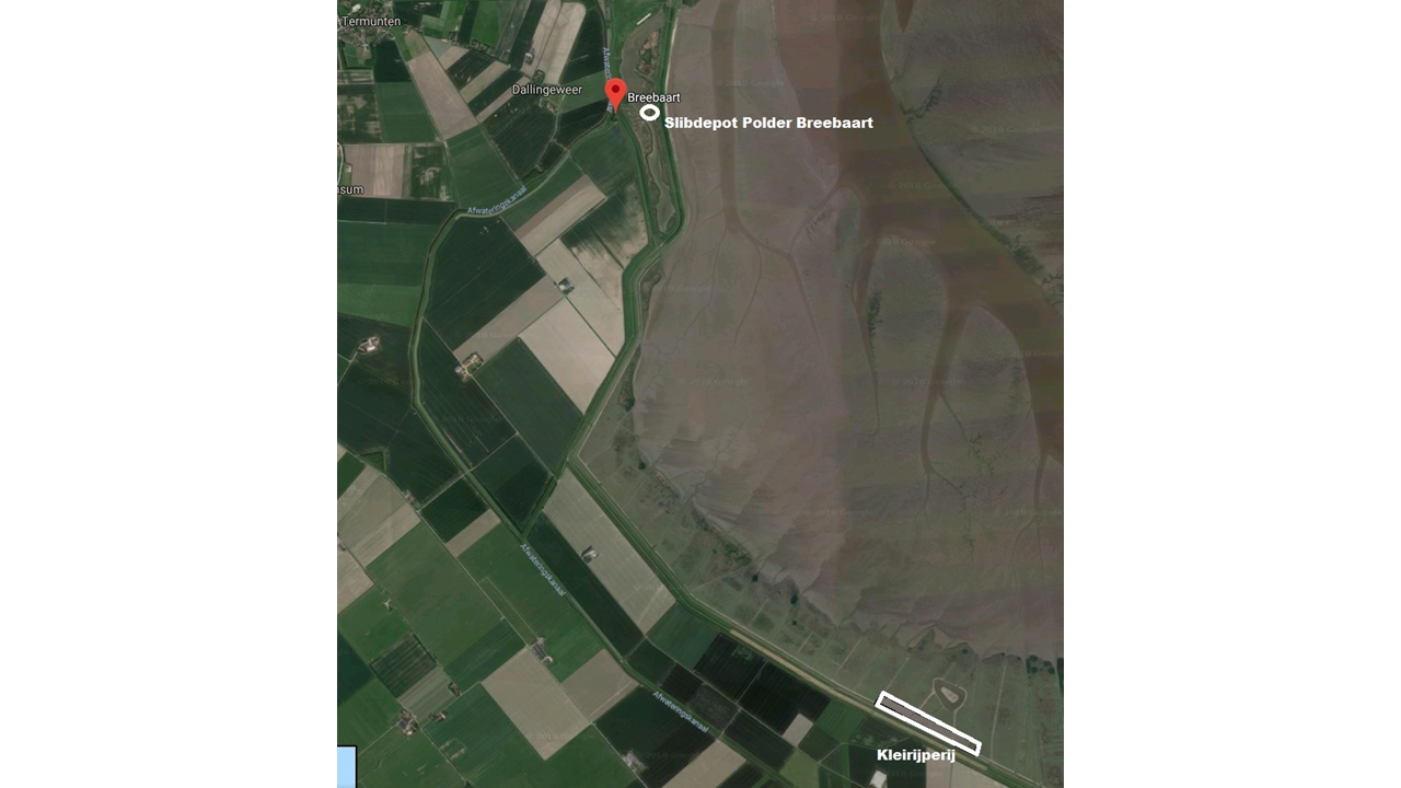
On 31 January the redesign of Polder Breebaart starts, a brackish tidal landscape, managed by the Groninger Landschap nature organisation. Part of the redesign is the removal of excess sediment from the area, so nature can restore itself. This excess sediment is ripened into clay in the second location of the Clay Ripener in the Northeast of the Netherlands, to be opened this spring. Researchers of the EcoShape knowledge consortium will engage in experiments in this clay ripener, to find out how sediment can ripen into clay that meets the requirements for use as dike reinforcement.
Partners in this project are the regional water management authority Hunze en Aa’s, Groninger Landschap, and the Eems Dollard 2050 program. They work together on the research on beneficial use of sediment from the Ems Dollard estuary in the Northeast of The Netherlands.
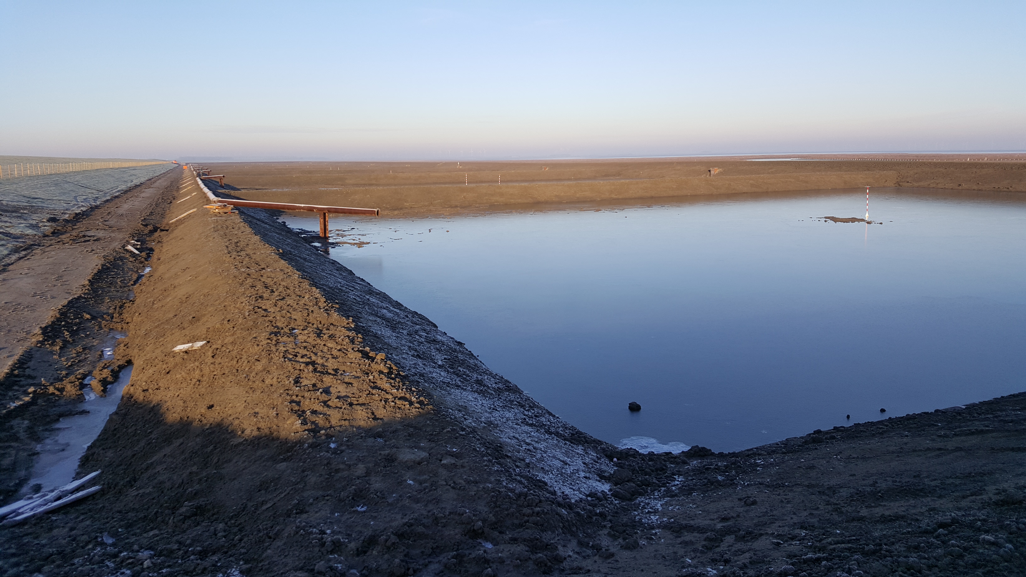
Removed sediment will be transported to a Clay Ripener on the salt marsh, a few kilometres south of Polder Breebaart. This second location of the Clay Ripener (the first one opened in April 2018 near Delfzijl) consists of 10 different trial sections. In each trial section researchers will test different clay ripening methods. The difference between both Clay Ripeners is the origin of sediment: in the Delfzijl clay ripener the sediment from the Zeehavenkanaal is used and in the Breebaart location sediment from Polder Breebaart. If the sediment proves to be suitable for dike reinforcement after 3 years of ripening, the Waterschap Hunze en Aa’s will use it to strengthen the Broad Green Dike next to Polder Breebaart.