Overview
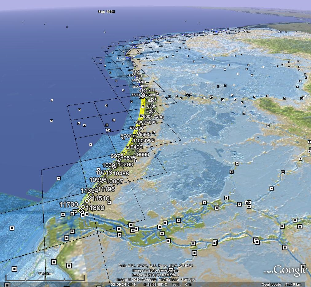
OpenEarth (www.openearth.nl) is a free and open source initiative to deal with data, models and tools in earth science & engineering projects. In current practice, research, consultancy and construction projects commonly spend a significant part of their budget to setup some basic infrastructure for data and knowledge management. Most of these efforts disappear again once the project is finished. As an alternative to these ad-hoc approaches, OpenEarth aims for a more continuous and cumulative approach to data & knowledge management. OpenEarth promotes, teaches and sustains project collaboration and skill sharing. As a result, research and consultancy projects no longer need to waste valuable resources by repeatedly starting from scratch. Rather they can build on the preserved efforts from countless projects before them.
Type: Software
Project Phase: Planning & Design, Initiation, Construction, Operation & maintenance
Type of assessment: System Analysis
Purpose: Software programme for the development and execution of models
Requirements: Programming skills
Relevant Software: OpenEarth, Python, Matlab, R

