Overview
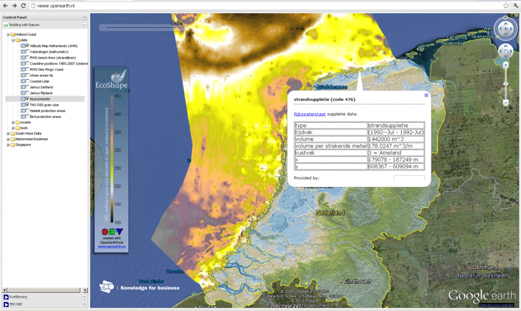
The set-up is such that data and models from different projects and cases can be viewed at the same time, which enables the user to see the interaction between different datasets and model results. Within Building with Nature (BwN), this application has been used in the past to gain an easily accessible overview of the information that is generated in the program. However, the setup can also be used for data management in other projects.
Type: Web Application
Project Phase: Planning & Design
Type of assessment: System Analysis
Purpose: Visualising data via GoogleEarth desktop application or Web interface
Requirements: Google Chrome / Firefox / Explorer
Relevant Software: Mapbox / Google Earth