Overview
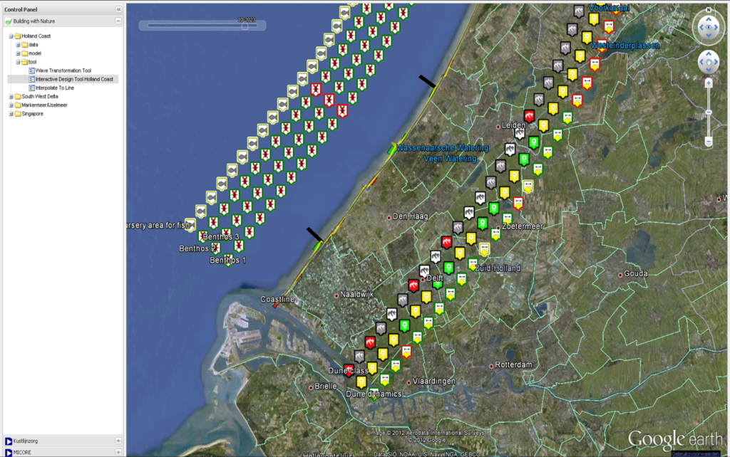
The Interactive Design Tool for the Holland Coast (ITHC) is a Interactive group modelling – MapTable application aiming at assisting decision makers, project developers and stakeholders in the early development stages of coastal maintenance strategies for the Holland Coast. The Holland Coast, i.e. the coast of the provinces South-Holland and North-Holland, the Netherlands, is a sandy dune coast characterized by a wide variety of economical, ecological and recreational functions, hence a large and diverse group of (potential) stakeholders. For the successful implementation of coastal maintenance strategies, the support of these stakeholders is of vital importance.
Type: Model
Project Phase: Planning & Design, Initiation
Type of assessment: Impact Assesment
Purpose: Communication tool for stakeholder engagement – simple modelling of different scenarios
Requirements: user-friendly (no extensive modelling skills required), knowledge on coastal processes
Relevant Software: OpenEarth Viewer (web application) or OpenEarth (requires Matlab)