Operation and Maintenance
The development of the nourishment and its impact on the morphological and biological processes has been and will be further monitored for several years, primarily by Rijkswaterstaat. Additionally Building with Nature has taken extra samples of the benthic macrofauna and has installed an Remote monitoring of bio -and morphological developments – ArgusBio for morphological imaging and close-up images of birds, and other ecological features like the presence of algal mats and microphytobenthos.
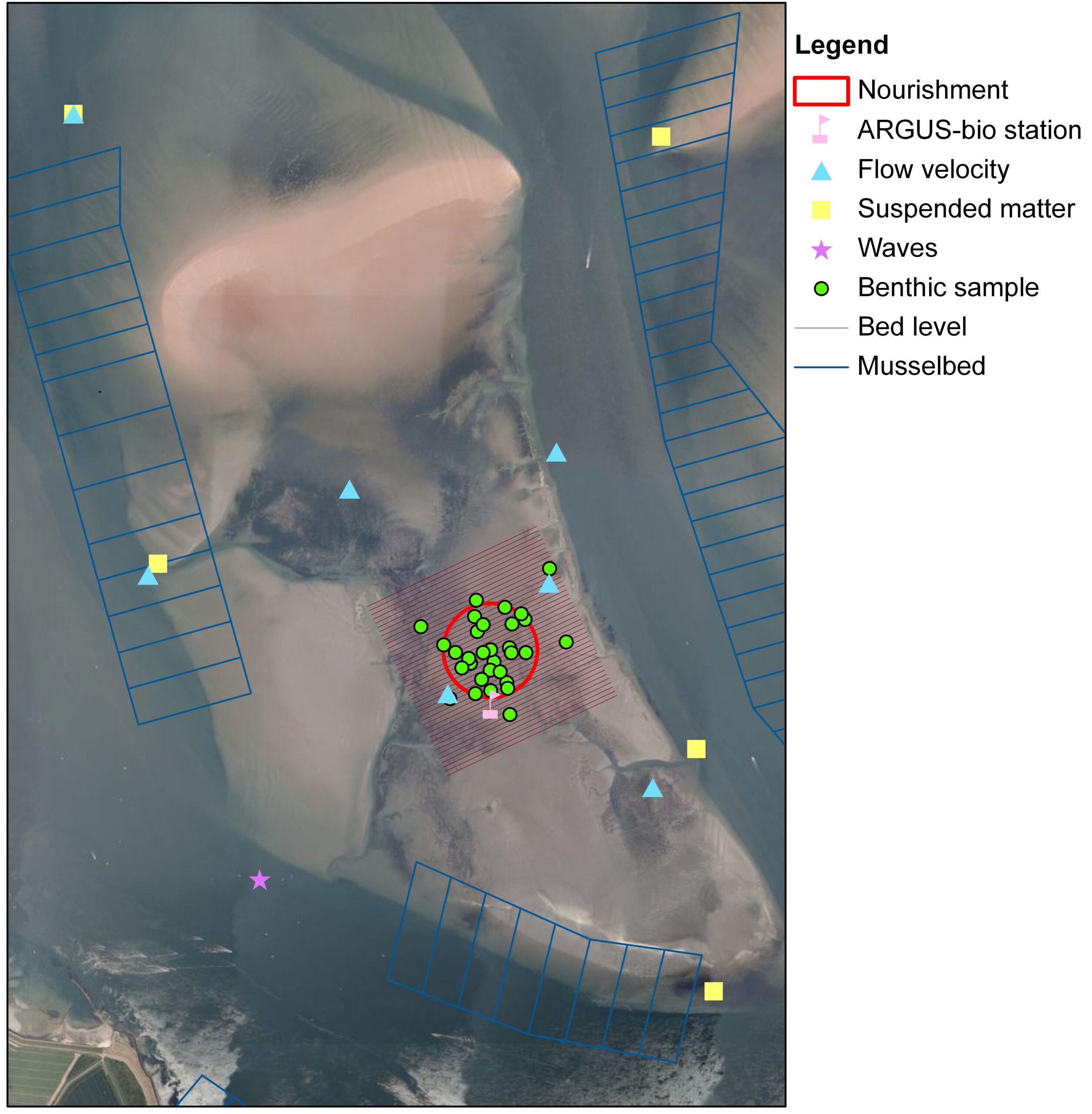
A detailed monitoring program was set up to follow the morphological and ecological development of the nourishment on the Galgeplaat in space and time by Ramaekers, et al., (2007).
Morphological developments were monitored every month in the first year and later every third month, through visual inspections at the edge of the nourishment, sedimentation-erosion plots at 14 locations along three transects and elevation measurements with RTK-DGPS with a spatial resolution of 25 m. Wave and current velocities were measured with an ADCP during a month just after placement of the nourishment. Additionally a Waverider was installed 200 m southwest of the Galgeplaat in order to measure the wave climate continuously. During construction suspended matter in the water column was measured in the channels around the tidal flat. Permanent hydrodynamic and meteorological measurement stations located in and around the Eastern Scheldt were used for data on water level, wind speed and wind direction respectively (Holzhauer and Van der Werf, 2009; Holzhauer et al., 2010, Van der Werf et al., 2011).
Ecological measurements included regular sampling of benthic macrofauna, sediment characteristics (grain size) and chlorophyll-a to track the benthic recolonisation in time. Sampling sites on the nourishment (n = 10) are compared with reference stations (n=6) in nearby undisturbed sediments. Macrofauna samples consisted of three cores (3 × 0.005 m2) pushed 30 cm into the sediment within a 1-m radius of the sample site, located with a GPS. The macrofauna samples were sieved over a 1-mm mesh, fixed with 4% buffered formalin and stained with Rose Bengal, after which specimens were determined to the species level. Sediment samples for grain size and chlorophyll-a concentrations were taken with a 1-cm diameter tube pushed 3 cm and 1 cm into the sediment respectively. Samples were taken in June 2008 (before the nourishment), and shortly after the completion of the nourishment in September and October 2008. In 2009 and 2010 sampling was done in April, July and October. In July and October 2009-2012 additional samples (n=25 in total) were taken on the nourishment to get a better picture of the spatial patterns of recolonisation on the nourishment (De Mesel and Ysebaert, 2011, De Mesel et al., in prep).
Morphological Modelling of the Galgeplaat
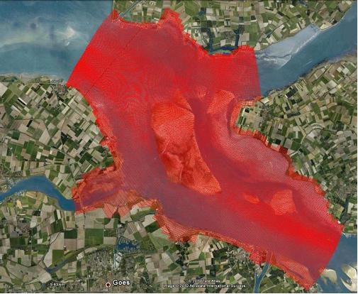
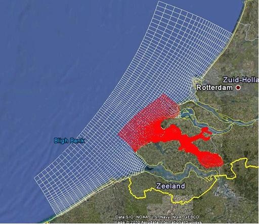
The processes occurring on the intertidal flats and their effects on accretion and erosion are still not well understood, due to their highly variable and dynamic nature. Therefore in order to gain more understanding on these processes and how they affect the morphological development of the estuary, a depth-averaged, two-dimensional horizontal (2DH) Delft3D-FLOW hydrodynamic model was created for the Galgeplaat within the context of the ANT project. Delft3D-WAVE (SWAN) was used to simulate waves on the same computational grid which was nested in a larger wave domain. In their turn, these coupled hydrodynamic and wave models were nested in a larger domain, the KustZuid (South Coast) model. This larger model simulates the hydrodynamics (including waves) of the southern part of the North Sea, Western Scheldt and Eastern Scheldt.
The sediment transport and morphology module can be run online with Delft3D-FLOW and supports both bed-load and suspended load transport of non-cohesive sediments and suspended load of cohesive sediments. Here, uniform sand fraction with a grainsize of 200µm was applied.The nested models were set up for a spring and winter spring/neap cycle in April and November 2009, respectively, and for a longer period from September to December 2009 to investigate tje wind and wave forcing responsible for sedimentation and erosion. Once these forcing factors had been established, different simulations were set-up including the nourishment in the model, in order to examine the morphological effect at its current location and elsewhere on the Galgeplaat. Ecological effects also play a strong role on the morphological developments of intertidal flats. Oyster reefs and mussel beds modify current patterns and influence sediment movement. Algal and diatom mats play a role in stabilising the bed, especially during summer. Further model simulations were performed including these ecological effects, particularly investigating the roughness effects of biological features on current magnitudes. At locations where large patches of oysters exist, the simulation of current magnitudes in the model was improved with respect to measurements. This in turn reduced tje erosion on the intertidal flats. More details can be found in Cronin, 2012.